

|
|
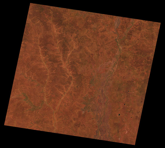
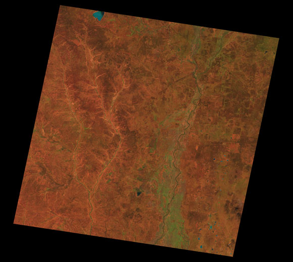
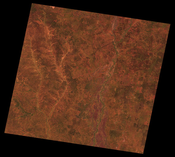
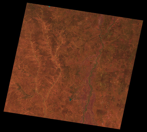
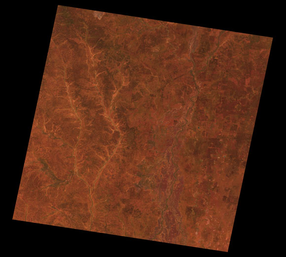
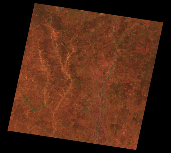
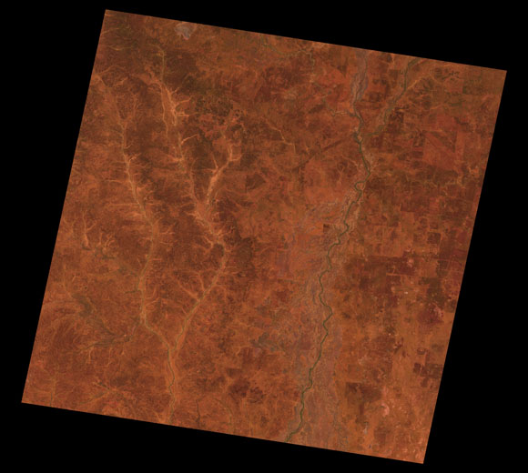
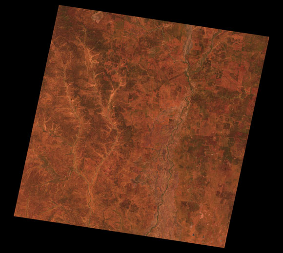
Charleville Landsat SceneWRS path/row Sub-bioregions
19.3% Langlo Plains
10.2% Nebine Plains
03.6% North Eastern Plains
22.3% Warrego River Plains
44.7% West Warrego
Images are colour-mapped to enhance the contrast of water bodies (Shortwave→Red, Near-infrared→Green, Green→Blue) Copyright Commonwealth of Australia - Geoscience Australia This page should be cited as: Department of Environment, Science and Innovation, Queensland (2013) Charleville Landsat Scene, WetlandInfo website, accessed 13 April 2025. Available at: https://wetlandinfo.des.qld.gov.au/wetlands/resources/tools/hydro-climate/scene/char/ |

 — Department of the Environment, Tourism, Science and Innovation
") : 94/78-79
: 94/78-79