


 — Department of the Environment, Tourism, Science and Innovation
|
|
Central Freshwater Biogeographic ProvinceCentral Freshwater Biogeographic Province – Photos Click on elements of the model or select from the tabs below 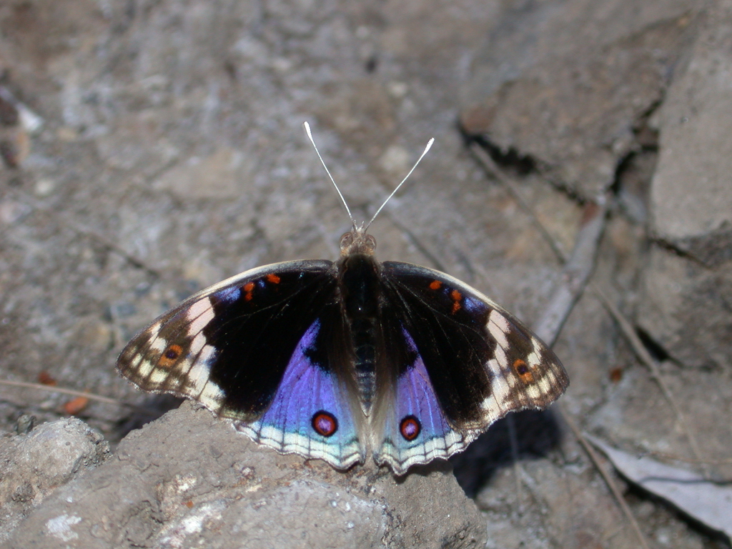 A blue argus butterfly at Isaac River Yatton Photo by Water Planning Ecology Group, DSITIA 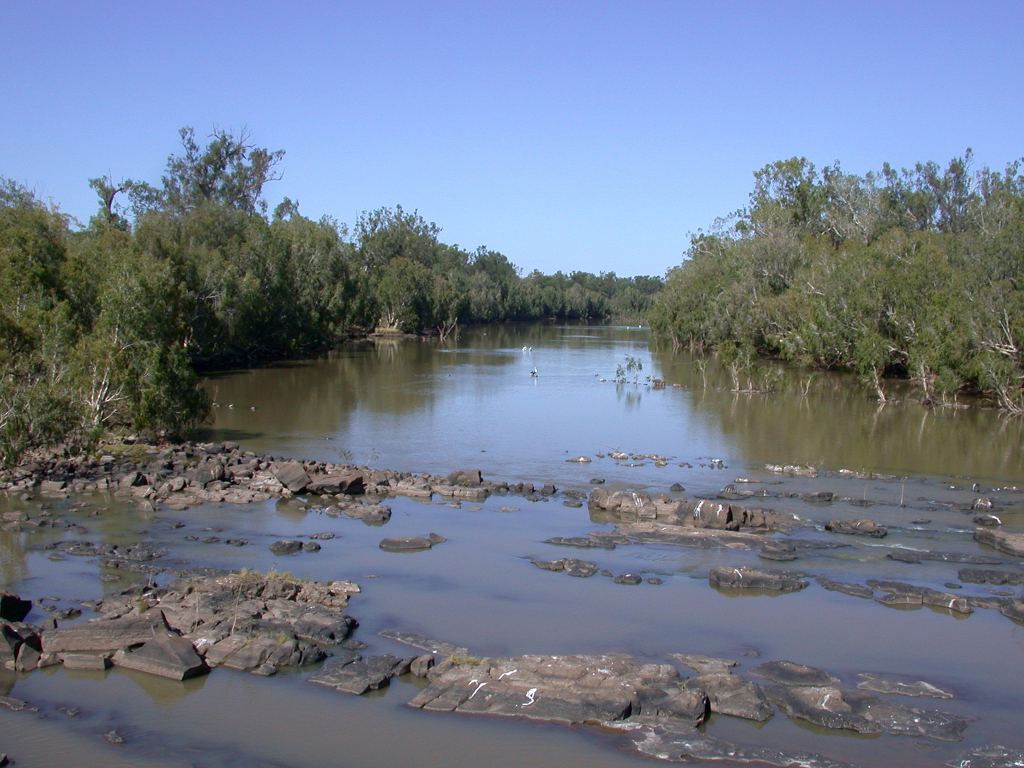 Bedrock present in the Mackenzie River Tartrus Photo by Water Planning Ecology Group, DSITIA 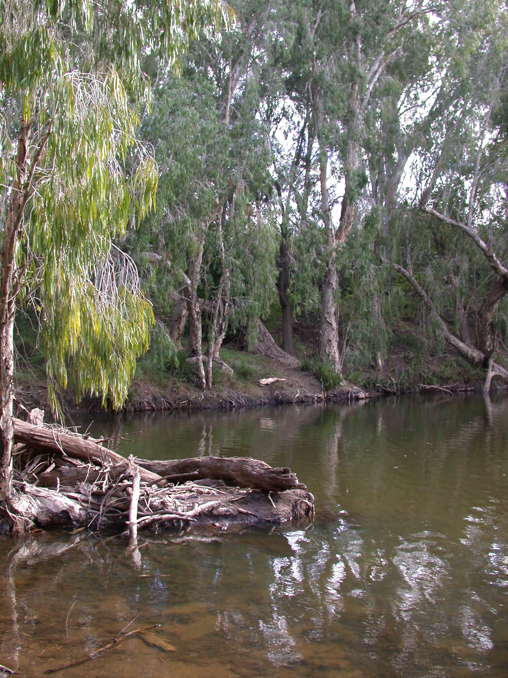 Large woody decris in Funnel Creek Photo by Water Planning Ecology Group, DSITIA 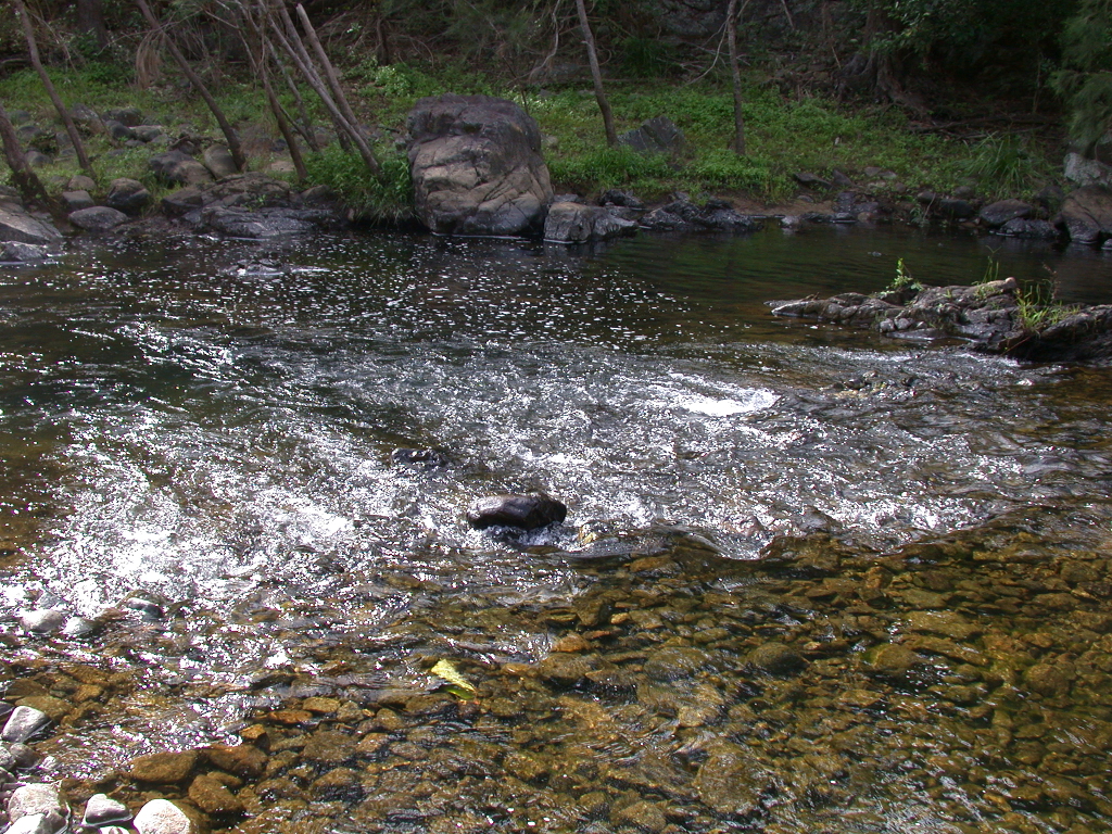 Cobble substrate in the riffle habitat at O'connell River Cathu Photo by Water Planning Ecology Group, DSITIA 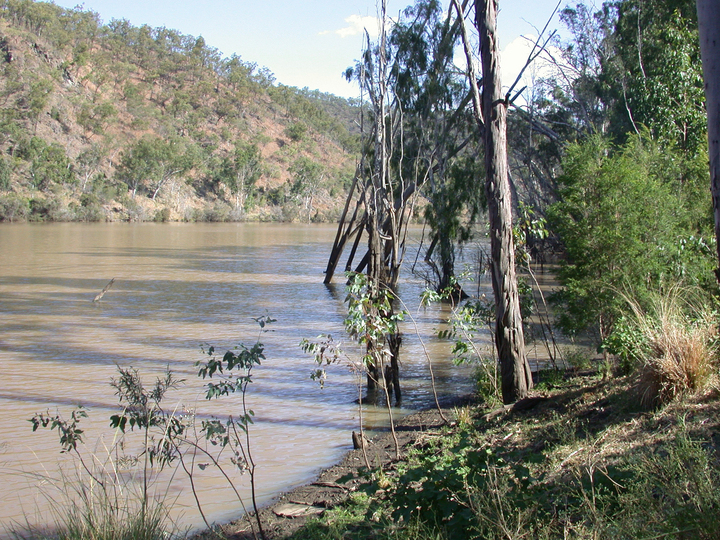 Flat banks in the Fitzroy River Photo by Water Planning Ecology Group, DSITIA 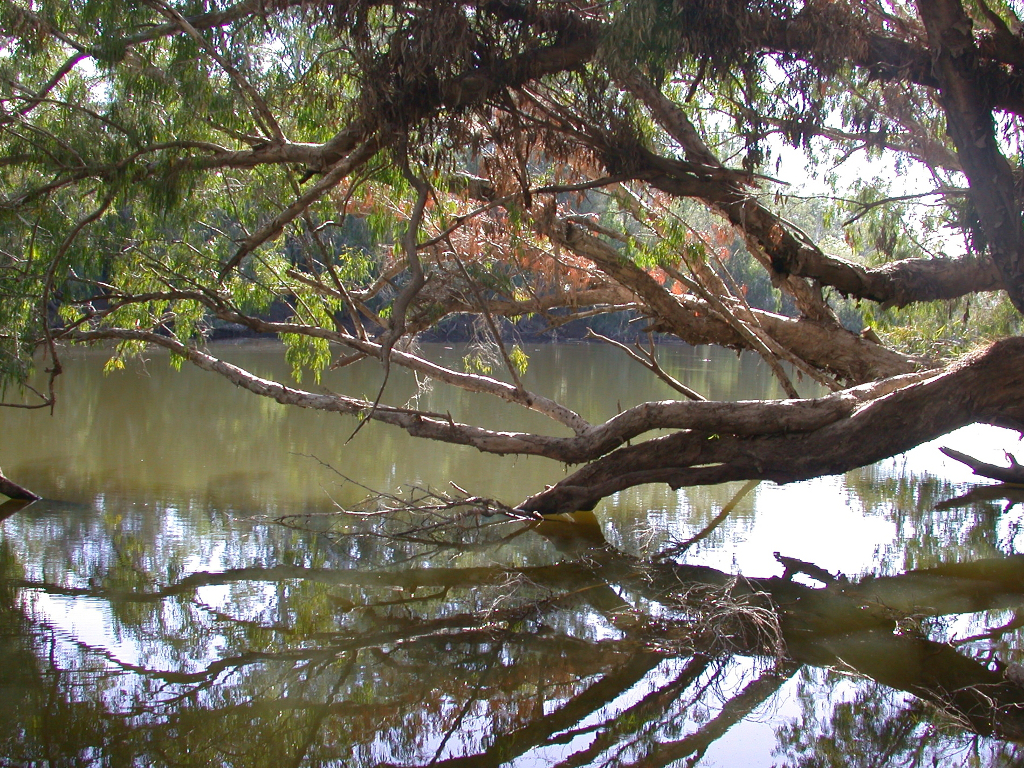 Connors River Fitzroy Basin Photo by Water Planning Ecology Group, DSITIA Flat banks in the Fitzroy River Photo by Water Planning Ecology Group, DSITIA 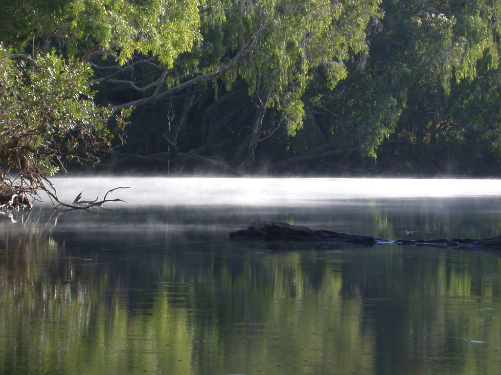 Funnel Creek Fitzroy Basin Photo by Water Planning Ecology Group, DSITIA 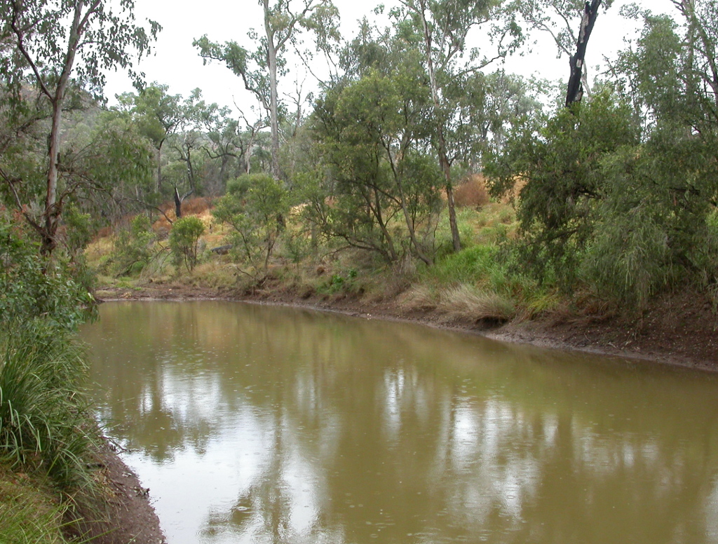 Grasses and medium trees dominate the riparian vegetation at Dawson River Lonesome National Park Photo by Water Planning Ecology Group, DSITIA 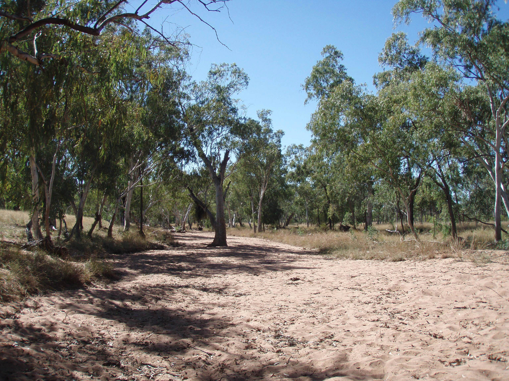 Dry creek bed At Lascelles Creek Photo by Water Planning Ecology Group, DSITIA 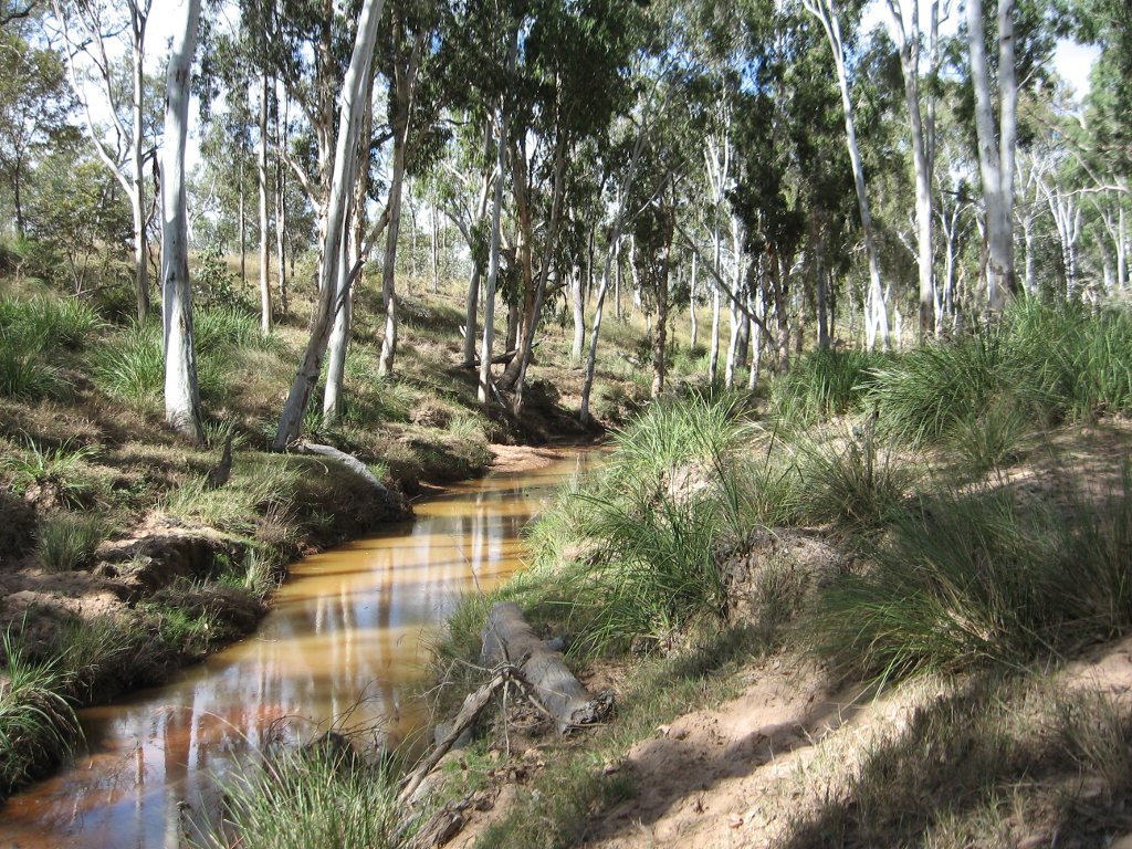 Narrow channels and sparse riparian vegetation are common in the Central Freshwater Biogeographic Province Photo by Water Planning Ecology Group, DSITIA 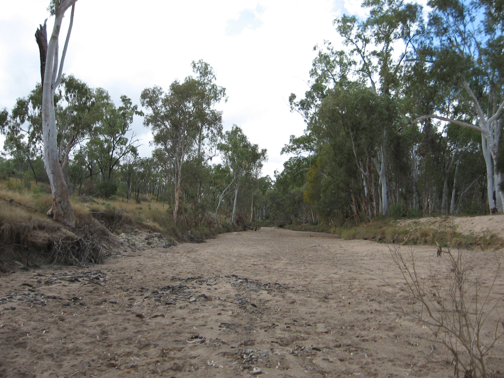 No flow periods are common in the Central Freshwater Biogeographic Province Photo by Water Planning Ecology Group, DSITIA 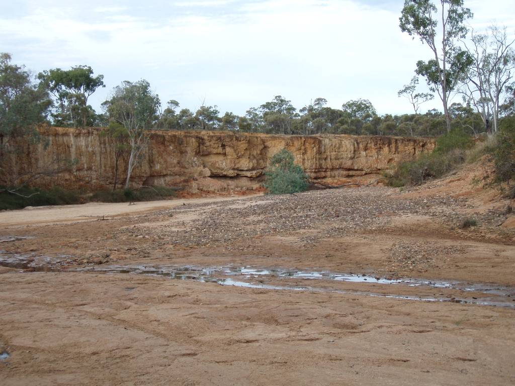 Sandstone sediments occur frequently in the Central Freshwater Biogeographic Province Photo by Water Planning Ecology Group, DSITIA 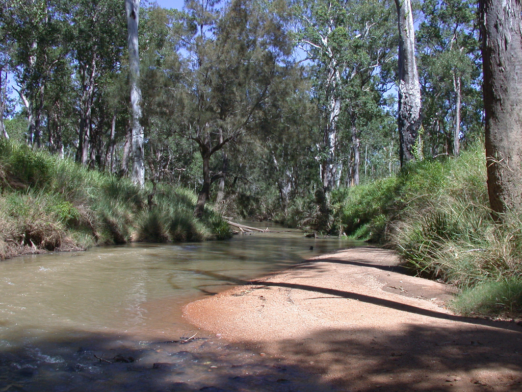 Sandy substrate in the edge habitat of the Burdekin River Photo by Water Planning Ecology Group, DSITIA 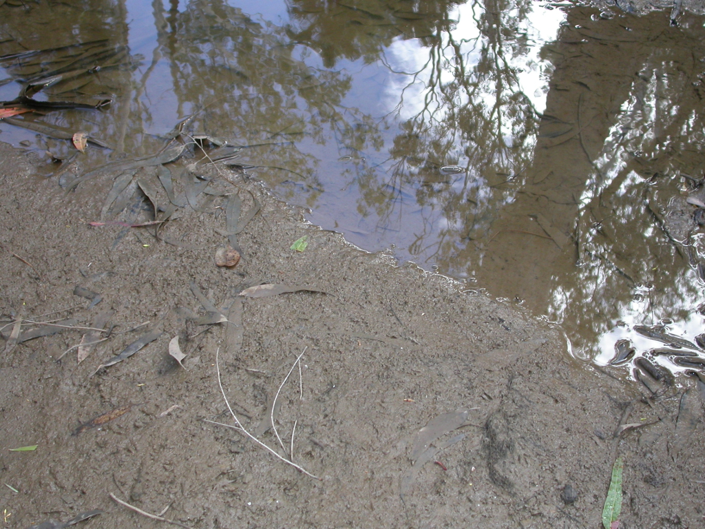 Silt clay and sand dominate the edge habitat Palm Tree Creek Photo by Water Planning Ecology Group, DSITIA 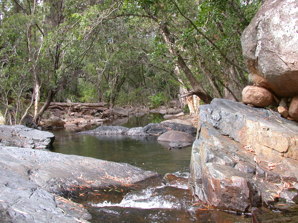 Volcanic rocks and boulders in Double Creek Photo by Water Planning Ecology Group, DSITIA 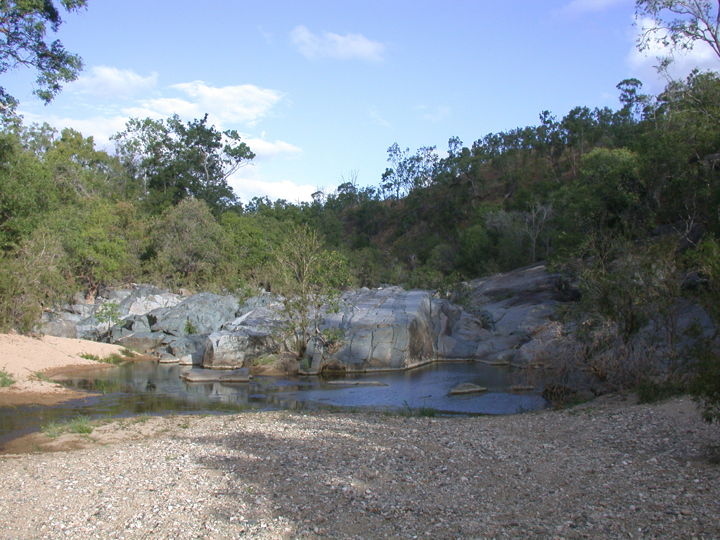 Volcanic sediments present at Boundary Creek Photo by Water Planning Ecology Group, DSITIA Large woody debris in Funnel Creek Photo by Water Planning Ecology Group, DSITIA 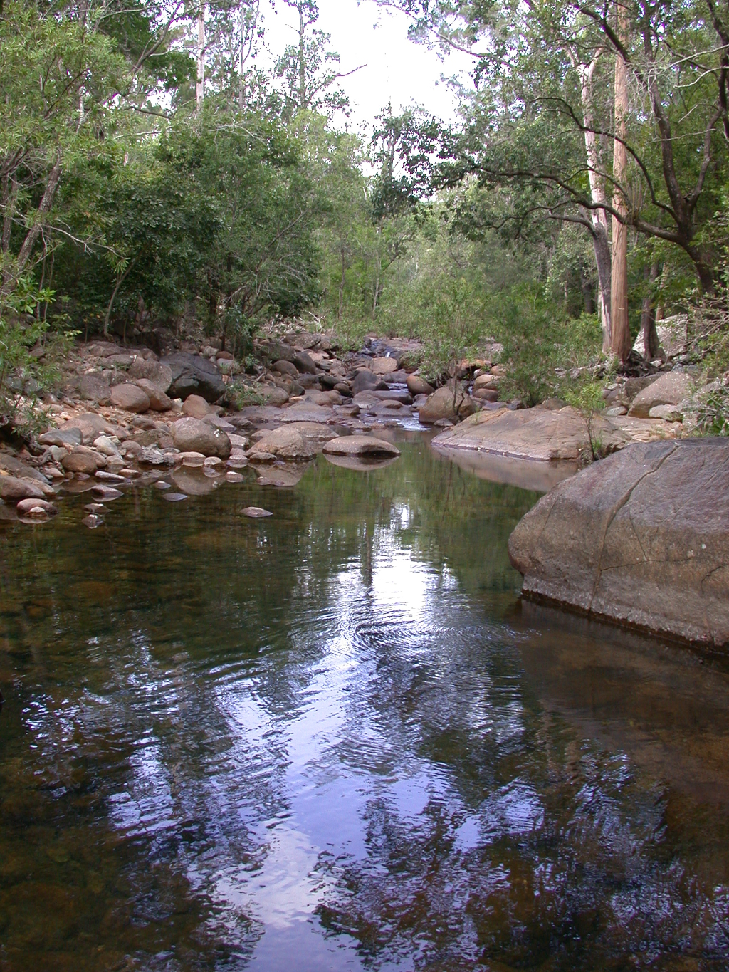 Cockatoo Creek Bowling Green Bay National Park Photo by Water Planning Ecology Group, DSITIA Last updated: 22 March 2013 This page should be cited as: Department of Environment, Science and Innovation, Queensland (2013) Central Freshwater Biogeographic Province – Photos, WetlandInfo website, accessed 14 April 2025. Available at: https://wetlandinfo.des.qld.gov.au/wetlands/ecology/aquatic-ecosystems-natural/riverine/freshwater-biogeo/central/photos.html |
