

|
|
South-East Freshwater Biogeographic ProvinceSouth-East Freshwater Biogeographic Province – Photos  Click on elements of the model or select from the tabs below 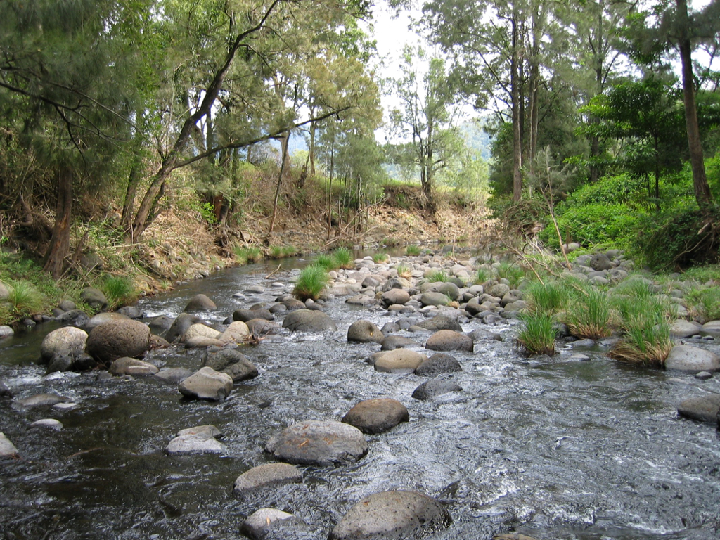 Cobbles dominate riffle substrate Running Creek Drynans Photo by Water Planning Ecology Group, DSITIA 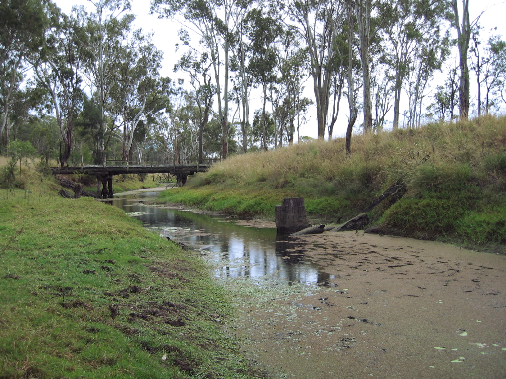 Concave and convex banks at the Stuart River upstream of Gordonbrook Dam Photo by Water Planning Ecology Group, DSITIA  Large woody debris and snags at Logging Creek Tributary State Forest Photo by Water Planning Ecology Group, DSITIA  Low flows in the Stuart River near Proston Photo by Water Planning Ecology Group, DSITIA  Low relief in the south east freshwater biogeographic province Meandu Creek Nanango Kumbia Road Photo by Water Planning Ecology Group, DSITIA 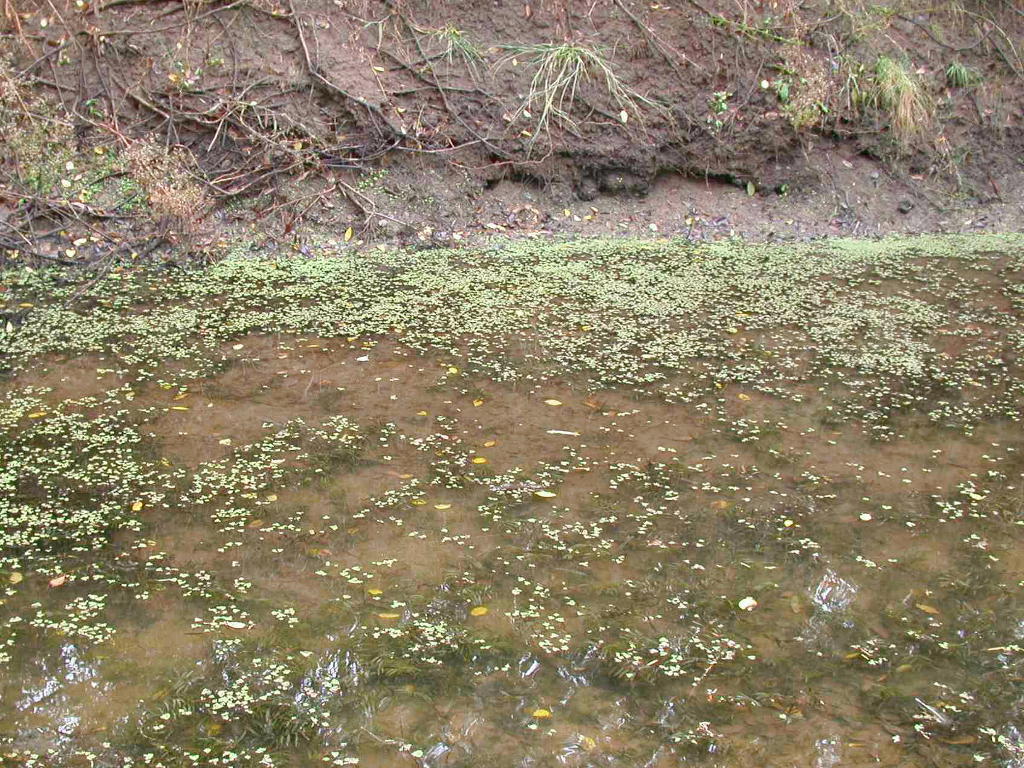 Macrophytes in the Stuart River near Proston Photo by Water Planning Ecology Group, DSITIA  Running Creek Drynans Photo by Water Planning Ecology Group, DSITIA 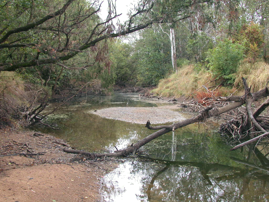 Low flows in the Stuart River near Proston Photo by Water Planning Ecology Group, DSITIA  Sandy substrate in the bank habitat at Baffle Creek Mimdale Photo by Water Planning Ecology Group, DSITIA 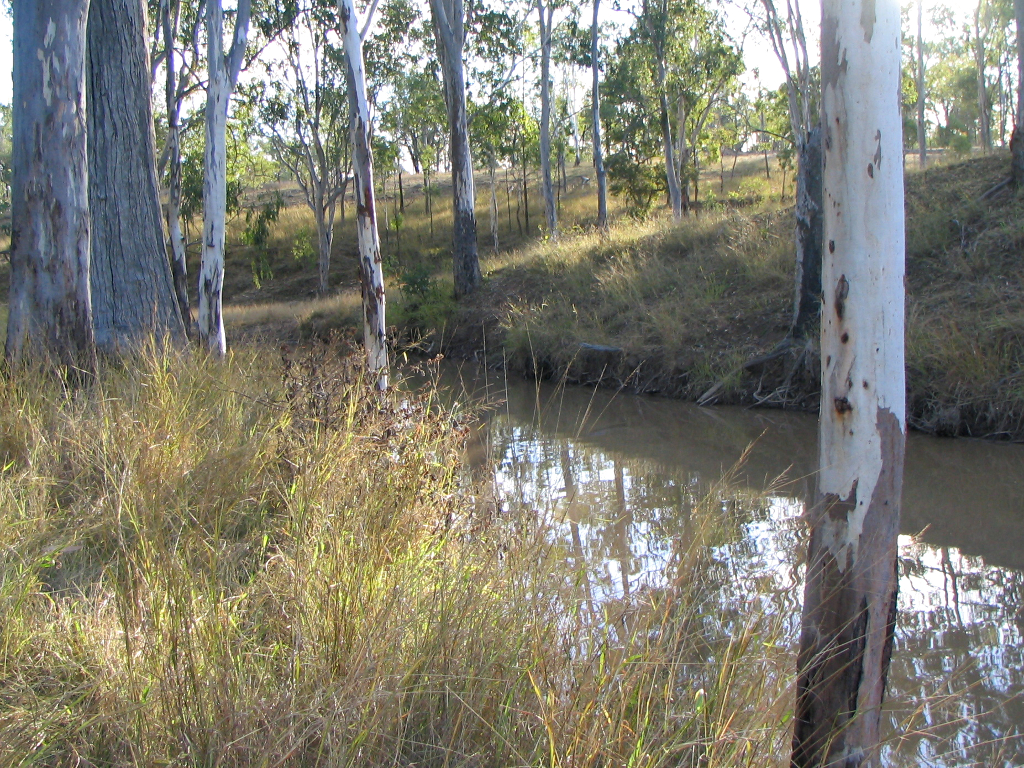 Grasses and medium sized trees dominate riparian vegetation in the south east freshwater biogeographic province Photo by Water Planning Ecology Group, DSITIA  Volanic ranges in the south east biogeographic province Photo by Water Planning Ecology Group, DSITIA 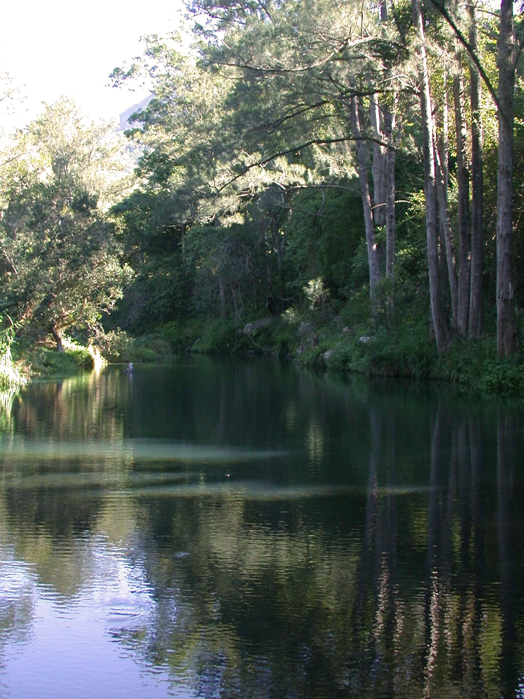 Riparian vegetation creates substantial shade at Nerang River Bochow Park Photo by Water Planning Ecology Group, DSITIA  High relief in the south east freshwater biogeographic province Burnett River Mt Lawless Photo by Water Planning Ecology Group, DSITIA Last updated: 22 March 2013 This page should be cited as: Department of Environment, Science and Innovation, Queensland (2013) South-East Freshwater Biogeographic Province – Photos, WetlandInfo website, accessed 28 April 2025. Available at: https://wetlandinfo.des.qld.gov.au/wetlands/ecology/aquatic-ecosystems-natural/riverine/freshwater-biogeo/south-east/photos.html |

 — Department of the Environment, Tourism, Science and Innovation