

|
|
Groundwater Ambient Network (GWAN) – Water qualityCoverageThe map below highlights the areas where sampling has occurred for this program. Click on the map to view information about the drainage basins in this area. NOTE: This program is represented by a large number of points that are available in KML format by clicking the "download points KML" button, but due to web browser limitations the points cannot be shown on this page. 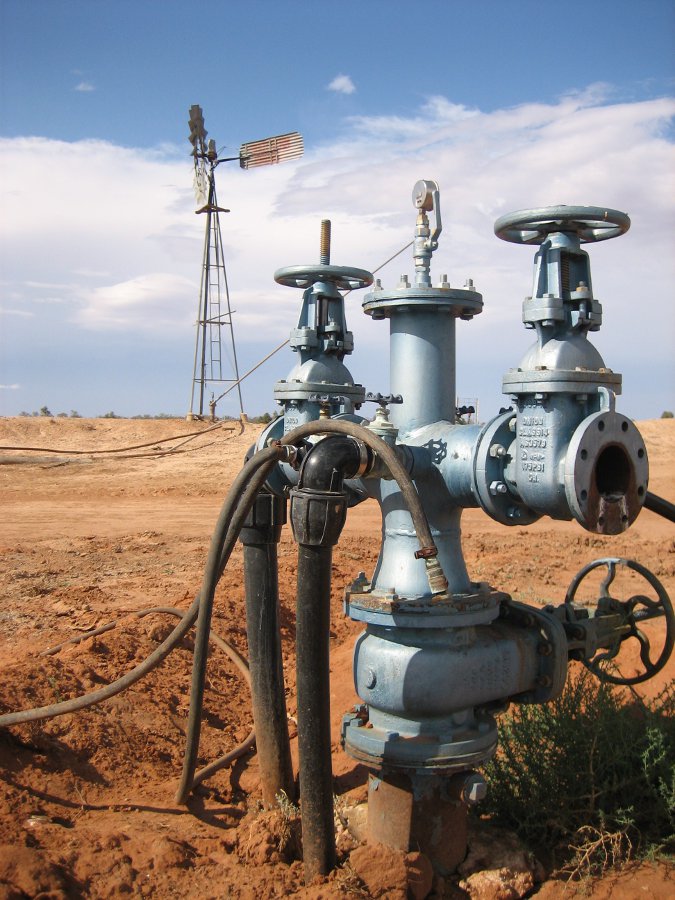 Program start dateThe first recorded water quality reading was from bore number 287 taken in 1898. However, the first water quality reading for a state government bore was from bore RN 13610252 taken on 14 December 1914. Program end dateOngoing Objectives of the programThis program aims to provide:
Who is involved?Lead organisationDepartment of Natural Resources and Mines Partner organisationsQueensland Health Forensic and Scientific Services (notional program for sample analysis) List of indicators monitoredManual sampling at all sites:
Scale of programStatewide Brief description of sampling locationsThe Groundwater Ambient Network (GWAN) is a sub-set of the Groundwater Water Level Network and consists of 563 bores across Queensland. Frequency of monitoringMonitoring frequency is defined in the approved network list and is variable. Where is the program reported?GWAN is typically used for baseline data for a range of projects, including coal seam gas development and other mining activities. Data collected through the GWAN is also reported as part of the State of the Environment Report. Data is available on request to water.monitoring♲dnrm.qld.gov.auLast updated: 22 March 2013 This page should be cited as: Department of Environment, Science and Innovation, Queensland (2013) Groundwater Ambient Network (GWAN) – Water quality, WetlandInfo website, accessed 8 May 2025. Available at: https://wetlandinfo.des.qld.gov.au/wetlands/assessment/monitoring/current-and-future-monitoring/groundwater-ambient-network.html |
Site footer

 — Department of the Environment, Tourism, Science and Innovation