

|
|
Wetland walkabout monitoringCoverageThe map below highlights the areas where sampling has occurred for this program. Click on the map to view information about the drainage basins in this area. 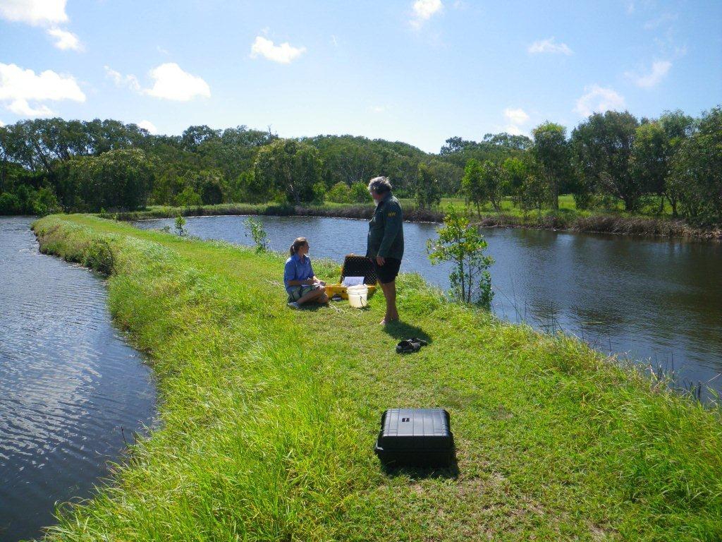 Program start date1/01/2012 Program end dateObjectives of the programMonitor wetlands water quality Drivers for monitoring programVolunteer Monitoring by Wetland Walkabout Manager Who is involved?Lead organisationContact details of lead organisation: reception♲reefcatchments.com Partner organisationsWetlands Walkabout, Mackay, Pioneer Catchment Landcare List of indicators monitoredpH, EC, DO, water and air temp, turbidity, weather conditions, last rainfall, water level, water flow rate, stream data (width, depth, erosion, siltation), water appearance, water odour, exotic water plants, algal types, fish Scale of programReach Brief description of sampling locationsSeveral sites within and adjacent to Wetland Walkabout, Mackay Frequency of monitoringQuarterly Where is the program reported?Pioneer Catchment Landcare and Reef Catchments Frequency of ReportingQuarterly Last updated: 22 March 2013 This page should be cited as: Department of Environment, Science and Innovation, Queensland (2013) Wetland walkabout monitoring, WetlandInfo website, accessed 8 May 2025. Available at: https://wetlandinfo.des.qld.gov.au/wetlands/assessment/monitoring/current-and-future-monitoring/wetland-walkabout.html |
Site footer

 — Department of the Environment, Tourism, Science and Innovation